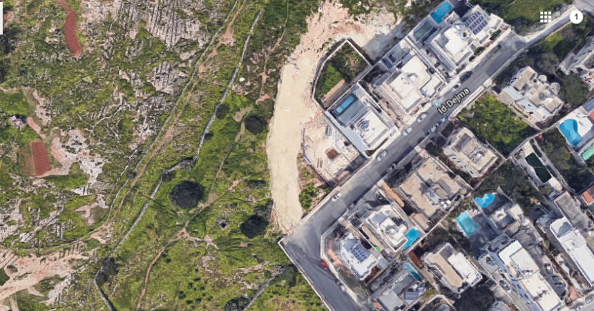
A plot of ODZ land in San Pawl tat-Targa measuring 2,750 square metres located just outside the building scheme is being advertised as “an investment opportunity since it is adjacent to (building) scheme and with plans to be in rationalization for development of terraced houses and villas”.
The land is being given a price tag of €1.8 million on a property website.
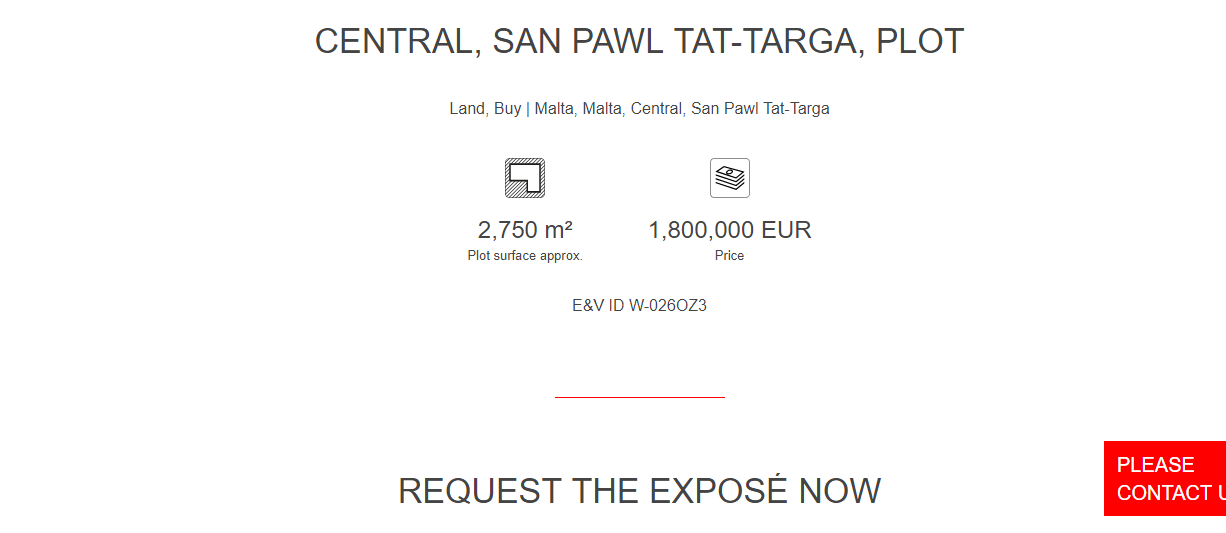
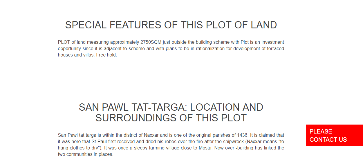
The tip-off to The Shift came from a newly formed online community called Take the PA to Court whose objective is to “unite under outrage and grief at the loss of our environment, culture and heritage, and transform that into positive action.”
Speculation on a prospective extension of building boundaries in San Pawl tat-Targa has been fueled by a mysterious planning application seeking an “archaeological investigation” on a 2,816 square metre plot of land along Triq ix-Xenixkal in San Pawl tat-Targa.
The developers have not stated their future intentions for this site which is located outside development boundaries in San Pawl tat-Targa along Triq is- Seneskalk which was left out in the 2006 extension of boundaries.
It is not yet clear whether the land being advertised as an investment opportunity is the same as the one proposed for archaeological investigation but both are located in the same area and have a similar size.
The Planning Authority (PA) is still “analyzing” 5,700 submissions from the public related to the revision of the 2006 local plans announced in 2013, with the intention being that of compensating additions to the development zone by excluding some land parcels from the current development zone.
A new road is also being developed at San Pawl tat-Targa leading to the site on which an application for soil clearance for an “archaeological investigation” has been presented.
The road is being built right on the edge of a plot of land included in the 2006 extension of building boundaries. The site earmarked for soil clearance was not included in development zones and was granted protection in 2011 due to its archaeological importance.
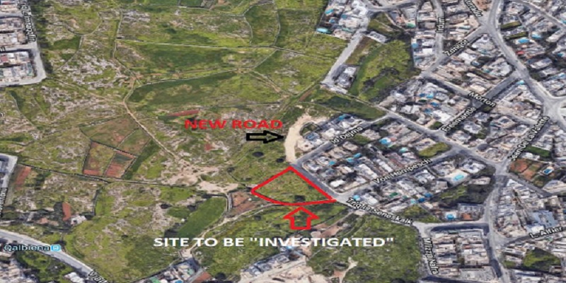
Plans for a development of a villa approved in 2015 – on the site included in the controversial extension of boundaries in 2006 – refer to a “new proposed street” in this area but no permit for the new road can be traced on the PA website.
A new street in the area was also included in a list of 450 residential roads earmarked for construction in 2008 which was tabled in parliament by then roads minister Jesmond Mugliett in 2006.
This suggests that the new road will service newly approved villas on the edge of the site added to development boundaries in 2006 .
But the development of the new road between the two plots, one included in development boundaries in 2006 and the other earmarked for soil clearance under the pretext of an archaeological investigation is fueling speculation that a further revision of development boundaries in the area is in the offing.
Last year a number of residents and activists met with PN Mosta local councillors and an AD district candidate to ask about the new road. According to the residents Labour councillors did not accept to meet them.
“The question at the time was obvious – why is a new road being built on the edge of a quiet residential area?” asked an activist on a facebook page dedicated to the protection of the Tal-Wej area.
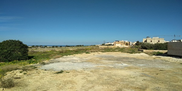
The new road leading to Tal-Wej site
Noting that the purpose for the investigation in unclear, Din l-Art Helwa has called for the intervention of the Superintendence for Cultural Heritage and for the Planning Authority to ask the developers to present a full application stating their intentions for the site.
The archaeological investigation is being proposed by John Mary Micallef who claims ownership of the land parcel.
But the site presently enjoys various levels of protection which makes the approval of any development in the area unlikely.
In 2011 the site was scheduled as a Class A area of archaeological importance. The site was described as a “rich cultural landscape in which a large number of archaeological and architectural features dating to different time periods overlap to form a common cultural landscape”.
The site is also scheduled as an Area of Ecological Importance. The area includes “supporting rockpools and a mosaic of garigue and steppe vegetation.”
A primary school proposed in the area was refused by the Planning Authority in 1996.
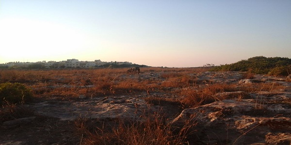
Two dolmen lie just a few metres further away from the site.

